

Pilot Release of the Project’s Digital Platform Now Available
As part of the research project, the pilot version of the digital application is now available. It has been designed to support sustainable tourism development along the coastal front of Southwestern Attica.
The application integrates advanced cloud computing technologies (AWS), real-time environmental data, thematic routes based on visitor profiles, as well as digital visualizations of points of interest.
🔍 Key Features:
Management and visualization of weather data from an installed meteorological station in real time.
Integration of 90 thematic routes, based on 10 tourist profiles and 7 municipalities.
Personalized route suggestions through an interest-recording questionnaire.
Informational visualization of beaches with accessibility, geomorphology, and infrastructure characteristics.
Dynamic integration with Google Maps, as well as the ability to view 3D models of sustainable information hubs.
The platform was developed by the Institute of Communication and Computer Systems (ICCS – NTUA), in collaboration with the other project partners.
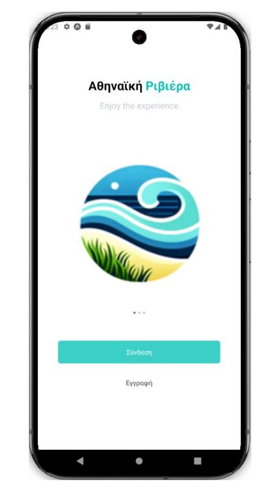
📲 Pilot Testing
The application is available for trial use by selected users and organizations, with the aim of collecting feedback for its optimization.
https://drive.google.com/file/d/1D6arEPQHOTp9K0nOJCt2uj1qgupH5_wV/view